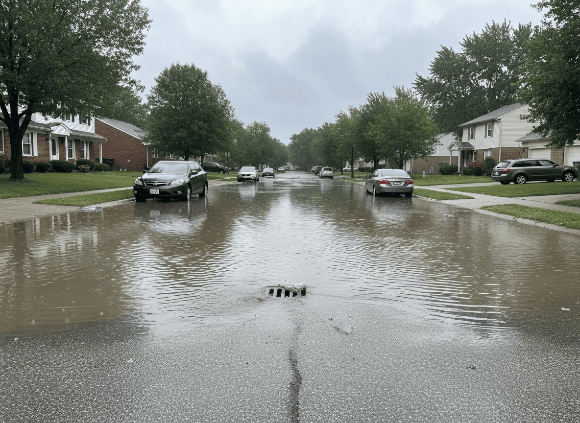
Ohio homeowners have been hit with the same flash flood alert again and again this week, and forecasters at the National Weather Service say the ground itself has become part of the problem: soil across southern and central Ohio is now so saturated that it can barely absorb another inch of rain before it starts running straight into basements, streets and streams.
The National Weather Service office in Wilmington, Ohio, which covers much of southern and central Ohio, has issued a string of flash flood warnings and watches since September 9, as repeated rounds of thunderstorms moved through the region. One warning covered Gallia, Jackson and Meigs counties after Doppler radar detected between 1 and 2 inches of rain in a single evening, with up to half an inch more possible. Days later, a broader flood watch stretched across Adams, Brown, Fairfield, Franklin, Highland, Hocking, Licking, Pickaway, Pike, Ross and Scioto counties, running from Saturday morning through Saturday evening.
The wording NWS forecasters used in that watch explains why the same counties keep reappearing on the alert list: “With the ground already saturated in many locations from rain the past few days, rapid runoff of the rainfall could lead to localized flash flooding.” By Saturday night, a fresh flood warning had narrowed back in on Pike and Ross counties specifically, where 1 to 3 inches of rain had already fallen before the warning was even issued.
Why Saturated Soil Makes Flooding Worse
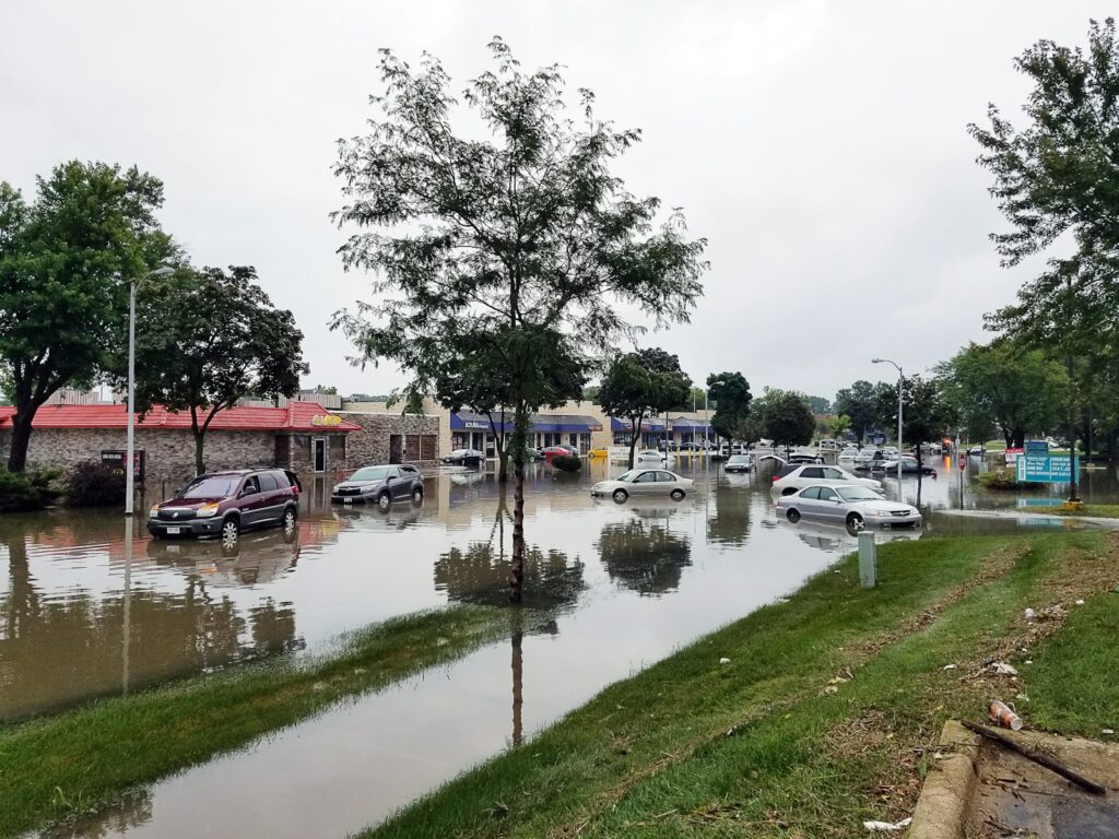
Soil works like a sponge with a limit. Once the pore space between soil particles fills with water from previous storms, additional rain has nowhere to go — it moves across the surface instead, collecting in low-lying yards, window wells and street gutters far faster than dry ground would allow. That’s the mechanism behind NWS repeatedly flagging “rapid runoff” this week: Ohio isn’t getting historically extreme rainfall, but each new round of storms keeps landing on ground that never dried out from the last one.
Protecting Your Home While the Ground Stays Saturated
- Clear gutters and downspouts now, and make sure downspouts direct water at least six feet away from the foundation — saturated soil right next to a house is the most common path water takes into a basement.
- Test sump pumps before the next storm arrives, including a backup battery or water-powered pump in case of a power outage during heavy rain.
- Check that window wells and basement window seals aren’t already holding standing water from previous rounds of rain.
- Avoid driving or walking through any flooded street, even a familiar one — floodwater hides washed-out pavement, and most flood deaths happen in vehicles.
- Move anything stored directly on a basement floor onto shelving, since even a small amount of seepage can ruin boxes and furniture stored at ground level.
With the soil already at capacity, any additional storm this week carries a higher flooding risk than the rainfall total alone suggests. Residents in the affected counties should keep a way to receive NWS alerts active through the week, since forecasters have upgraded watches to warnings with only short notice as each new line of storms develops.