Heat indexes are forecast to climb above 105°F across the Southern Plains and Lower Mississippi Valley and top 110°F in South Texas as a punishing heat wave settles over the region for Labor Day weekend, according to The Weather Channel’s September 1 forecast. Farther east, the Southeast will stay in the 90s on the thermometer, but thick humidity is expected to push heat indexes there into triple digits as well, according to a regional forecast analysis — leaving home air conditioners running close to nonstop through one of the last big outdoor weekends of summer.
Key Points
- The Southern Plains and Lower Mississippi Valley are expected to see heat indexes above 105°F, with South Texas potentially topping 110°F, per weather data.
- The National Weather Service has issued extreme heat warnings for the Quad Cities region (effective through 7 p.m. CDT September 4) and the Paducah region (through 8 p.m. CDT September 5), with peak heat indexes of 103°F to 109°F.
- Overnight lows in warned areas are only easing into the mid-to-upper 70s, meaning central AC units get little downtime between peak-heat cycles.
- The Southeast will see air temperatures “only” in the 90s, but humidity will make it feel like triple digits, according to The Weather Channel.
- Much of the central U.S. is running significantly hotter than seasonal averages heading into the holiday.
Where It’s Hottest
- South Texas: heat indexes potentially exceeding 110°F
- Southern Plains and Lower Mississippi Valley: heat indexes above 105°F
- Paducah warning area (southern Illinois, southwestern Indiana, western Kentucky, southeastern Missouri): peak heat indexes of 103°F–109°F, air temperatures in the mid-90s to low 100s
- Quad Cities warning area (north-central Illinois, Iowa, northeastern Missouri): heat indexes up to 105°F
- Southeast: 90s on the thermometer, triple digits on the heat index
What Homeowners Should Do
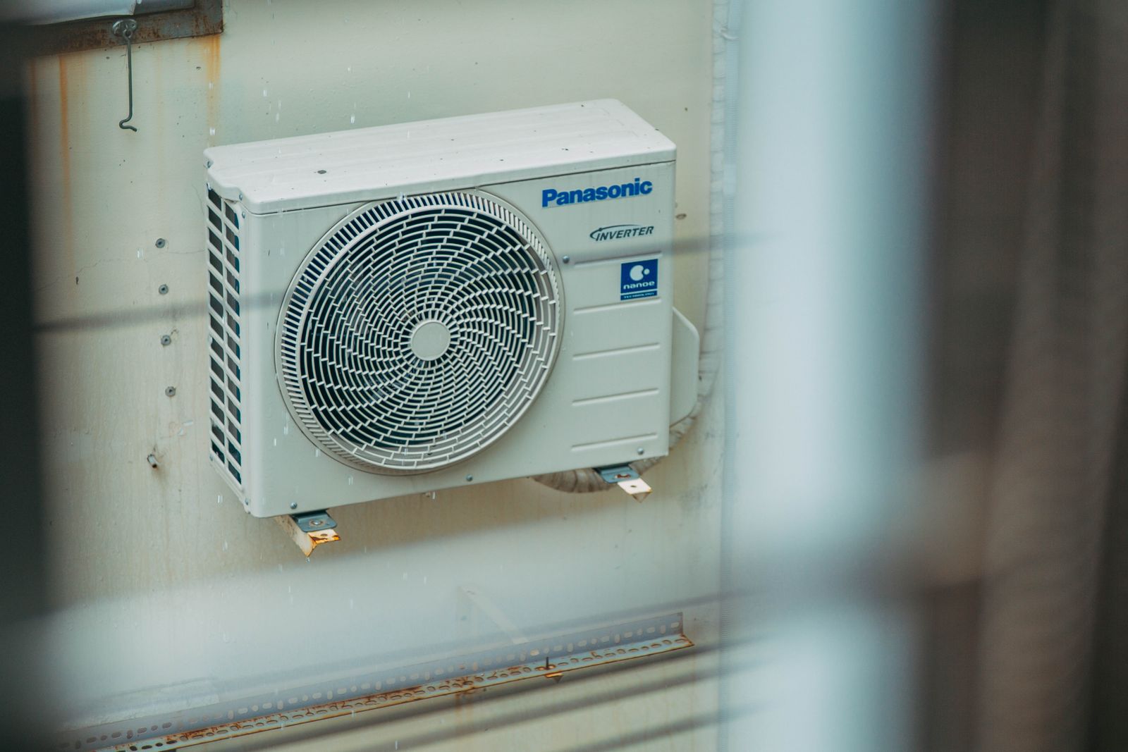
- Check or replace your AC filter now. A clogged filter restricts airflow and forces the system to work harder right when it’s already maxed out — that’s the fastest way to see a spike on your next energy bill.
- Nudge the thermostat up a few degrees and run ceiling fans. Fans cool people, not rooms, but the wind-chill effect lets most households raise the thermostat by 3-4 degrees without feeling it.
- Save heat-generating chores for early morning or after sunset. Running ovens, dryers, and dishwashers during the hottest part of the day just gives your AC an extra fight it doesn’t need.
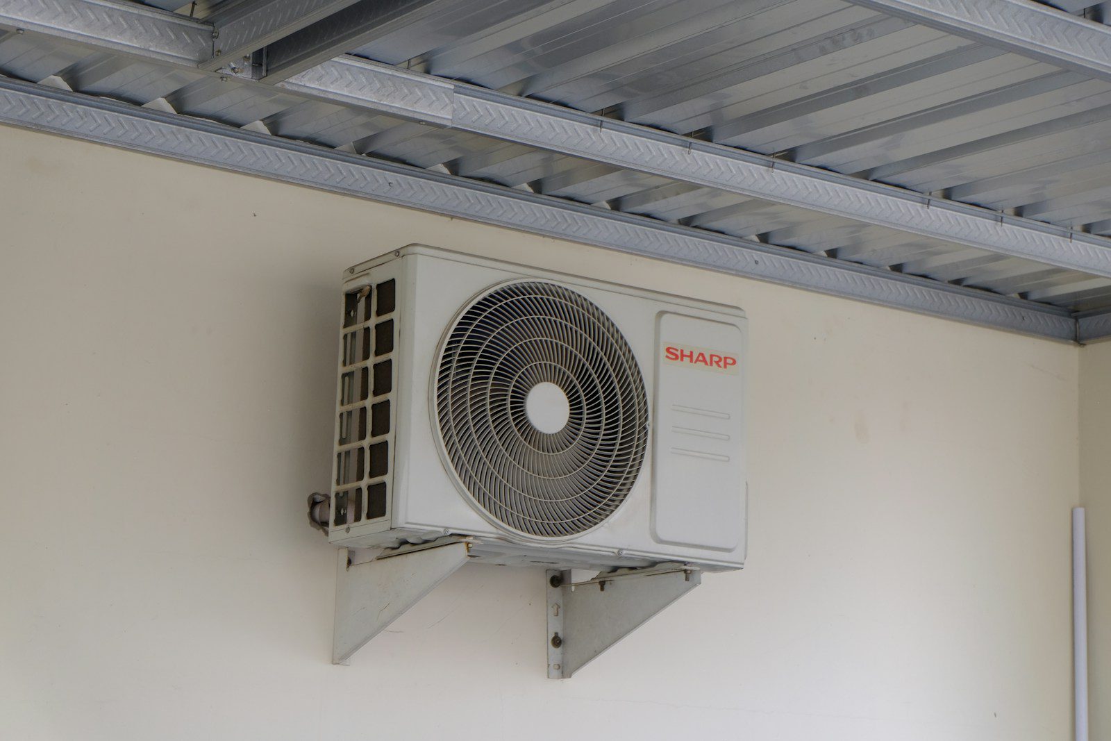
- Watch for warning signs of a struggling system: warm air from vents, ice forming on the outdoor unit, or unusual noises. Call for service before the holiday-weekend backlog hits.
- Check in on elderly relatives or neighbors without reliable air conditioning, particularly overnight, since temperatures in the warned areas aren’t dropping much even after dark.
The pattern is expected to hold through the holiday and into the following week as the hottest air shifts south, per forecasters, which means the strain on home cooling systems, and utility bills, likely won’t ease up the moment the long weekend ends.